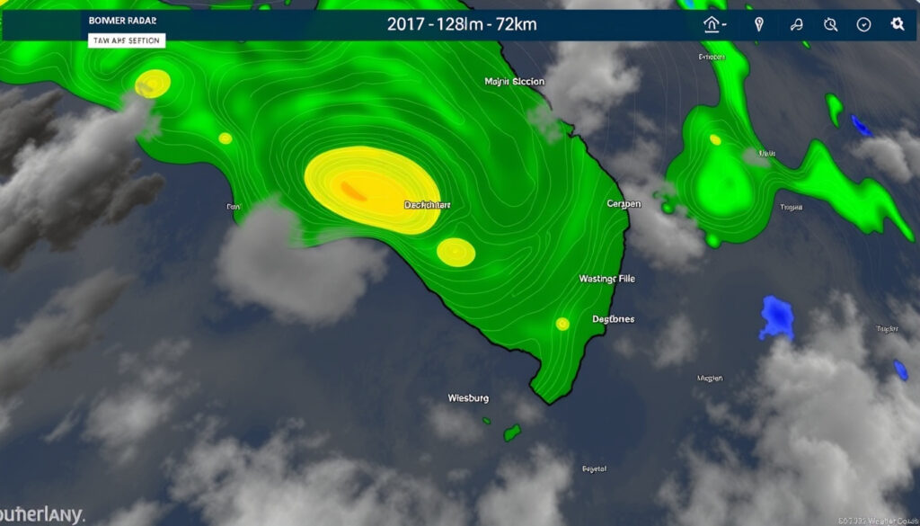
BOM Radar Marburg: 512km Loops and Brisbane Weather Guide
If you’ve tried to pull up the BoM radar over Brisbane lately, you may have noticed the interface looks different—and not necessarily better. The Bureau of Meteorology rolled out a redesigned rain-radar viewer in recent years, and while the new national mosaic is slick, finding the Marburg station’s 512km loop requires a few extra clicks. This guide cuts through the confusion with direct links, range breakdowns, and what the radar can and can’t show you about incoming weather.
Location: Marburg, Queensland ·
Operator: Bureau of Meteorology (BoM) ·
Common Ranges: 64km, 128km, 256km, 512km ·
Update Frequency: Every 5-10 minutes ·
Coverage: Southeast Queensland
Quick snapshot
- BoM operates Marburg radar 24/7 (Weatherzone radar notes)
- Multiple range loops available: 64km, 128km, 256km, 512km (Bureau of Meteorology official loop page)
- Radar ID: IDR501 for 512km, IDR50I for 128km Doppler wind (The Weather Chaser live loop page)
- Exact commissioning date of the Marburg radar station
- Quantitative resolution comparison across range settings
- Current operational status or recent outages as of 2026
- Historical radar data available from March 2005 (The Weather Chaser historical archive)
- BoM new radar viewer launched pre-2026 (Bureau of Meteorology redesign announcement)
- BoM continues integrating individual radars into seamless national mosaic (Bureau of Meteorology national viewer details)
- Third-party sites remain primary source for 512km Marburg loops (Bureau of Meteorology national viewer details)
The table below summarizes key specifications and access points for the Marburg radar station.
| Detail | Value |
|---|---|
| Operator | Bureau of Meteorology |
| Primary Site | reg.bom.gov.au |
| Live 512km | theweatherchaser.com/radar/IDR501-marburg |
| 128km Wind | bom.gov.au/products/IDR50I.loop.shtml |
| Elevation | 370m on Little Liverpool Range |
| Distance from Brisbane GPO | 53 km west |
| Radar Type | WSR 74 S Band |
| Availability | 24 hours |
Where is the Marburg radar?
The Marburg radar sits at 370m above sea level on the Little Liverpool Range, positioned between the towns of Marburg and Rosewood in Southeast Queensland. It’s roughly 53 km west of the Brisbane GPO, giving it a commanding view of the greater Brisbane metropolitan area and surrounding hinterland.
Coordinates and coverage area
As a WSR 74 S Band radar, the Marburg station offers a good overall view of precipitation across all sectors. The radar covers the Southeast Coast Queensland region and supports warnings, forecasts, and observations for the area. According to Weatherzone’s radar notes, there is some restriction on detecting low-level precipitation in a narrow sector to the west-southwest and over the Greater Brisbane Area itself—a quirk of the topography.
Relation to Brisbane QLD
For Brisbane residents and storm chasers, the Marburg radar is the primary precipitation monitoring tool for the region. The Bureau of Meteorology’s official Marburg location page (BoM Marburg page) provides area-specific weather and climate data alongside radar imagery.
The radar is sensitive and may detect virga—precipitation that evaporates before reaching the ground. This can give a false impression that rain is affecting an area when it’s not, according to Weatherzone’s technical notes. Watch for this especially in dry conditions when green echoes appear but no rain falls at ground level.
What are the disadvantages of Marburg radar 512?
Choosing a 512km range gives you wide coverage, but it comes at a cost: lower image resolution. The trade-off is inherent in how weather radar works—wider sweeps capture more territory but at coarser detail, making it harder to pinpoint the exact intensity of rainfall at any single point.
Range limitations
A longer range means the radar beam spreads further, and the spatial resolution degrades accordingly. Fine-scale features like microbursts or localized heavy showers that would show clearly on a 64km loop may appear as vague echoes—or disappear entirely—on a 512km display. Storm chasers who need to track precise cell movement often stick with the 128km or 256km settings for this reason.
Update delays
Update intervals for radar images are typically 5 minutes, though they can stretch to 6 or 10 minutes for older archived data, according to The Weather Chaser. During fast-moving storm events, a 10-minute gap can mean the difference between seeing a cell approach and missing it entirely.
Site access issues
The BoM redesigned its radar interface in recent years, consolidating individual radar pages into a national mosaic viewer. While the new layout offers seamless national coverage, users who preferred bookmarking a specific 512km loop page have had to adapt. The official BoM site primarily offers 128km Doppler wind loops directly (IDR50I loop page), with broader range views accessible through the map-based viewer.
Where can I buy a Marburg radar 512?
This is a common misunderstanding: the Marburg radar is government infrastructure operated by the Bureau of Meteorology, not a commercial product. You cannot purchase access to it. What you can do is access the imagery freely through official and third-party channels.
Free public access points
The BoM offers rain radar and weather maps for rain, wind, and wave across Australia through its radar and weather maps portal. For the official 128km Doppler wind loop, visit the IDR50I loop page. For 512km coverage, third-party aggregators fill the gap: The Weather Chaser provides live interactive 512km loops with historical data back to March 2005, while AccuWeather offers precipitation type and movement displays.
No commercial purchase needed
Live access to the Marburg 512km loop is free without registration for basic viewing on The Weather Chaser. Automatic loading of the most recent images requires a free account on that platform. Oscilmet also offers 512km Brisbane (Marburg) radar loops with 7 scans updated every few minutes, crediting the Bureau of Meteorology as the data source.
Third-party sites rely on BoM data but may lag slightly behind official updates. If you’re tracking severe weather for safety decisions, cross-check against the official BoM viewer first.
Are there storms today in Brisbane?
To answer this, you need to check the current radar imagery and combine it with official forecasts. The Marburg radar is the primary tool for Southeast Queensland, but interpreting a radar loop requires knowing what to look for.
Using Marburg radar for checks
Open the 512km Marburg loop and watch for cell movement over the past 30-60 minutes. Look for areas of yellow, orange, and red—these indicate moderate to heavy rainfall. If cells are tracking toward populated areas and intensifying, conditions favor storm development. The Weatherzone integration combines radar imagery with cloud cover maps and forecasts, giving a fuller picture than radar alone.
Thunderstorm tracker integration
The BoM’s new rain radar and map viewer combines radar images and MetEye into a customizable mobile-friendly display, according to the Bureau of Meteorology announcement. This lets you see national radar mosaics and drill down to specific locations without swapping between pages or radius views. For thunderstorm tracking, pair the radar view with BoM’s official forecasts and warnings.
The Marburg radar supports BoM warnings, forecasts, and observations for Southeast Queensland. During storm season, check both the radar loop and the BoM’s active weather warnings before making outdoor plans.
What happened to the BoM radar?
Users noticed significant changes when the Bureau of Meteorology rolled out a redesigned rain radar viewer. The old interface, which offered direct standalone radar pages with specific range loops, was replaced with a map-based national mosaic system.
Website redesign controversies
The redesign consolidated individual radar pages into a unified national viewer. According to BoM’s announcement, the new system allows users to view national radar mosaics without swapping between pages or radius views—a seamless experience. However, some users preferred the simplicity of direct URLs to specific loops. The BoM emphasizes that the new viewer combines radar images and MetEye into a customizable, mobile-friendly map.
Access to old loops
The 128km Doppler wind loop remains available at the official BoM URL (IDR50I.loop.shtml). For the 512km view, third-party aggregators like The Weather Chaser maintain dedicated loop pages with historical archives going back to March 2005. These sites continue to serve users who need the wider coverage without navigating the new map interface. The implication is that the BoM’s shift toward national mosaics has pushed users seeking specific loop URLs toward third-party providers.
Upsides
- Free public access via BoM and third-party sites
- Multiple range options (64km, 128km, 256km, 512km)
- 24/7 availability from WSR 74 S Band radar
- New BoM viewer is mobile-friendly with national mosaic
- Historical data available from March 2005
Downsides
- 512km range sacrifices resolution for breadth
- Update intervals typically 5 minutes (can be 10)
- West-southwest and Brisbane low-level detection limited
- Virga can produce false rainfall impressions
- BoM redesign removed direct 512km loop URLs
“This radar has a good overall view of precipitation in all sectors. However, there is some restriction on detection of low level precipitation in a narrow sector to the west southwest and over the Greater Brisbane Area.”
— Weatherzone, Radar Notes
“Data is currently available as far back as March 2005 for this imagery, however we do have older data available upon request.”
— The Weather Chaser, Site Description
Related reading: Is Australia a continent? · Starlink Mini Australia
While Marburg’s 512km loops serve Brisbane effectively, the Melbourne BOM radar guide details similar coverage from Laverton southwest of Melbourne.
Frequently asked questions
How to view BOM radar Marburg 256 loop?
The 256km range is available through the BoM’s rain radar portal at bom.gov.au/weather-and-climate/rain-radar-and-weather-maps. Use the interactive map to select the Marburg station and choose the 256km radius option. Third-party sites like Weatherzone also provide 256km views alongside forecasts.
What is the range of Marburg radar 64km?
The 64km setting provides the highest resolution imagery from the Marburg radar, best for tracking fine-scale features like individual storm cells or localized heavy rain. It’s ideal when you need detail over the Brisbane metropolitan area and immediate surrounds.
Is BOM Marburg radar live today?
Yes—the Marburg radar operates 24 hours a day, 7 days a week. Updates refresh every 5 minutes typically. Check the official 128km loop or The Weather Chaser 512km loop for the latest imagery.
How often does BOM Marburg radar update?
Update intervals for radar images are typically 5 minutes, according to The Weather Chaser. For older archived data, intervals can stretch to 6 or 10 minutes. During periods of heavy traffic or data processing, expect minor delays.
What does Marburg radar satellite show?
The radar shows precipitation intensity as colored echoes—green for light rain, yellow for moderate, orange for heavy, and red for very heavy rainfall. The satellite overlay on some viewers adds cloud cover context. The Marburg radar cannot directly detect cloud thickness or lightning activity; for that, you’d need satellite imagery and lightning trackers.
BOM radar Marburg tomorrow forecast?
The Marburg radar shows current precipitation, not forecasts. For tomorrow’s weather in Southeast Queensland, check the BoM Marburg forecast page, which provides day-by-day predictions. Use the radar to monitor whether forecast conditions are materializing in real time.
Alternatives to official BOM Marburg radar?
Third-party sites serve as alternatives: The Weather Chaser offers 512km loops with historical archives, Weatherzone integrates radar with forecasts and cloud cover, and AccuWeather shows precipitation type and movement. Oscilmet provides another 512km option with 7-scan loops.
For anyone monitoring Southeast Queensland weather—whether you’re a storm chaser, a farmer tracking rainfall, or just planning a weekend barbecue—the Marburg radar is an essential free tool. The Bureau of Meteorology operates it around the clock, and with the right loop settings and a few bookmarked URLs, you can stay ahead of incoming weather without paying for a premium weather app.
More related posts
 St Vincent de Paul Ireland: Help, Contact, and Services
 Woody Allen: Current Status, Movies, Relationships, and Controversies
 Han Jisung: Verified Biography, Key Facts, and Top FAQs
 Jimmy Carter: Biography, Presidency, Downfall, and Legacy
 Danielle Scott: Olympic Freestyle Skier – Biography and Medals
 Cash Only Diner – Reasons, Legality, Famous Spots
 Max Parker: Biography, Age, Husband & Netflix Role
 Joe Jonas Divorce Sophie Turner: Reasons, Custody & Timeline
